Integrated Water & Natural Resources Management
Technical studies and field assessments that identify water, land and natural resource use pressures, risks, and opportunities across systems at a large scale (lakes, river basins, deltas). They provide guidance for interventions that align conservation goals with practical local needs and long-term resource resilience.
Generated data is used for integrated planning for conserving and improving resources use that communities depend on every day, such as water, land, and environmental systems. River basin and watershed modelling, land-use mapping, and development of decision-support tools are needed for balanced management approaches that serve both people and ecosystems.
Technical Services Include:
- Hydrological and hydro-geological investigations
- Environmental flow measurements
- Watershed and river basin modeling
- Water-use balance and management modeling
- Surface and groundwater quality assessments
- Water quality indexing and contamination investigations
- Riparian health assessments, riverbank stabilization, and erosion control
- Biodiversity and ecological assessments
- Land-use and land-cover mapping
- Aquifer depletion and salinization assessments
- Flood risk mapping and mitigation
- National strategies, master-plans, and policy reviews
- Policy briefs and technical guidelines for regulatory frameworks
- Protected-area and buffer-zone management plans
Sample Projects
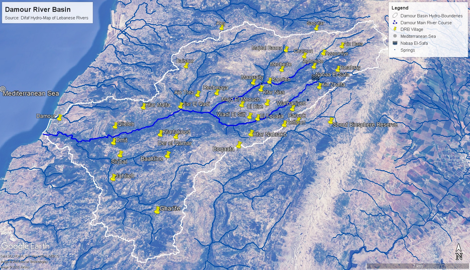
Technical Consultancy for Damour MSP & Update of Integrated Coastal Zone Management Law
Client: Plan Bleu – GEF Program I Location: Damour / Lebanon
Details
Under the framework of the MedProgramme Child Project 2.1, implemented by Plan Bleu and PAP/RAC within the United Nations Environment Programme Mediterranean Action Plan (UNEP/MAP) system and funded by the Global Environment Facility, at both the Lebanese and the Mediterranean scales based on the project results. Difaf provided technical assistance to Plan Bleu in reviews, organizing and implementing several workshops for developing and Integrated Management Plan for Damour watershed area.
Publications can be found at: https://planbleu.org/en/projects/gef-medprogramme-2020-2024/
Sample Projects
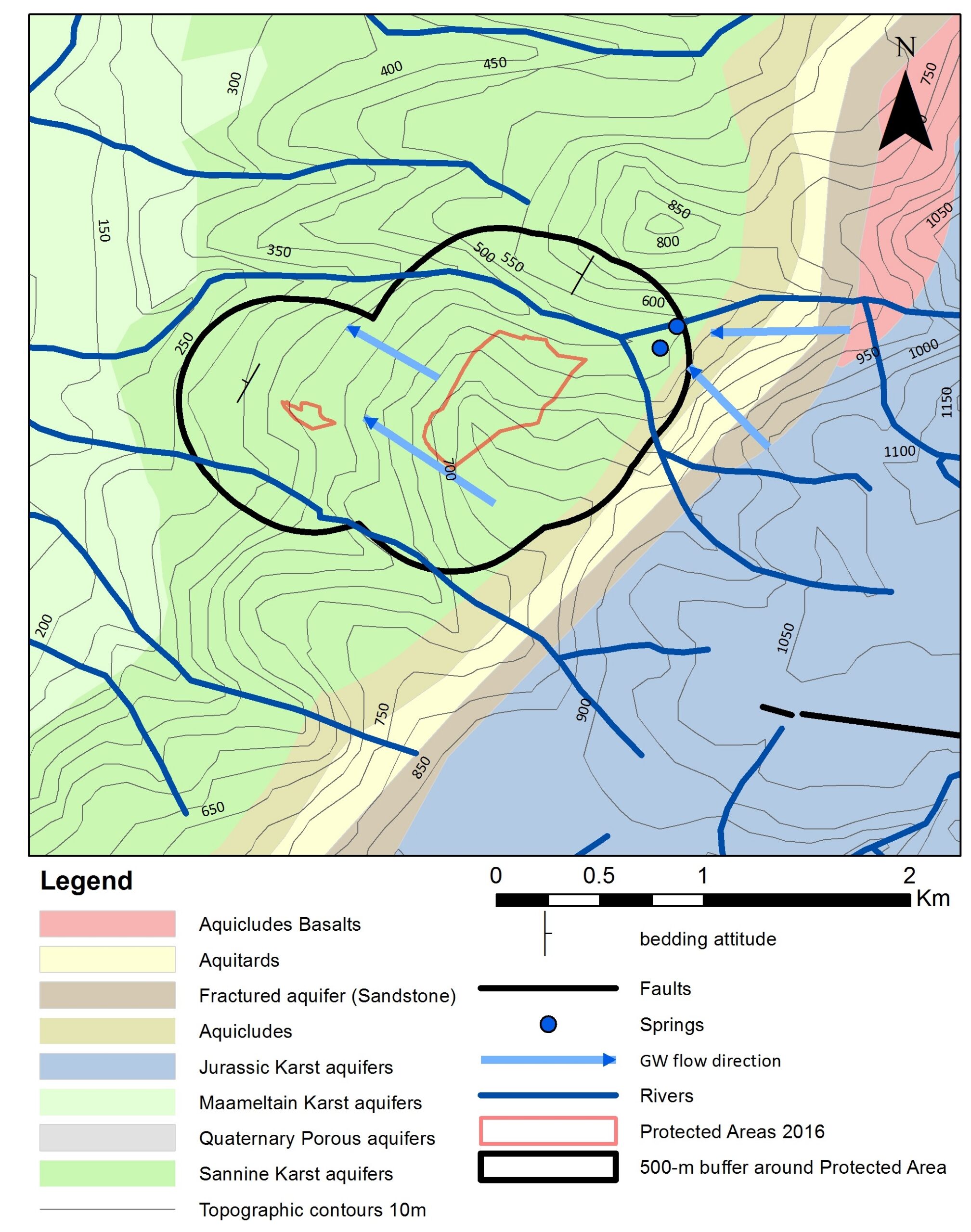
Technical Guidelines for Water Extraction Around Protected Areas in Lebanon
Client: GFA – MoE Program I Location: Lebanon
Details
Difaf was commissioned to develop technical guidelines and policy recommendations for the Ministry of Environment to develop frameworks which can turn to law, overseeing permit applications for water extraction in buffer zones of protected areas (all 15 nature reserves) in Lebanon.
Sample Projects
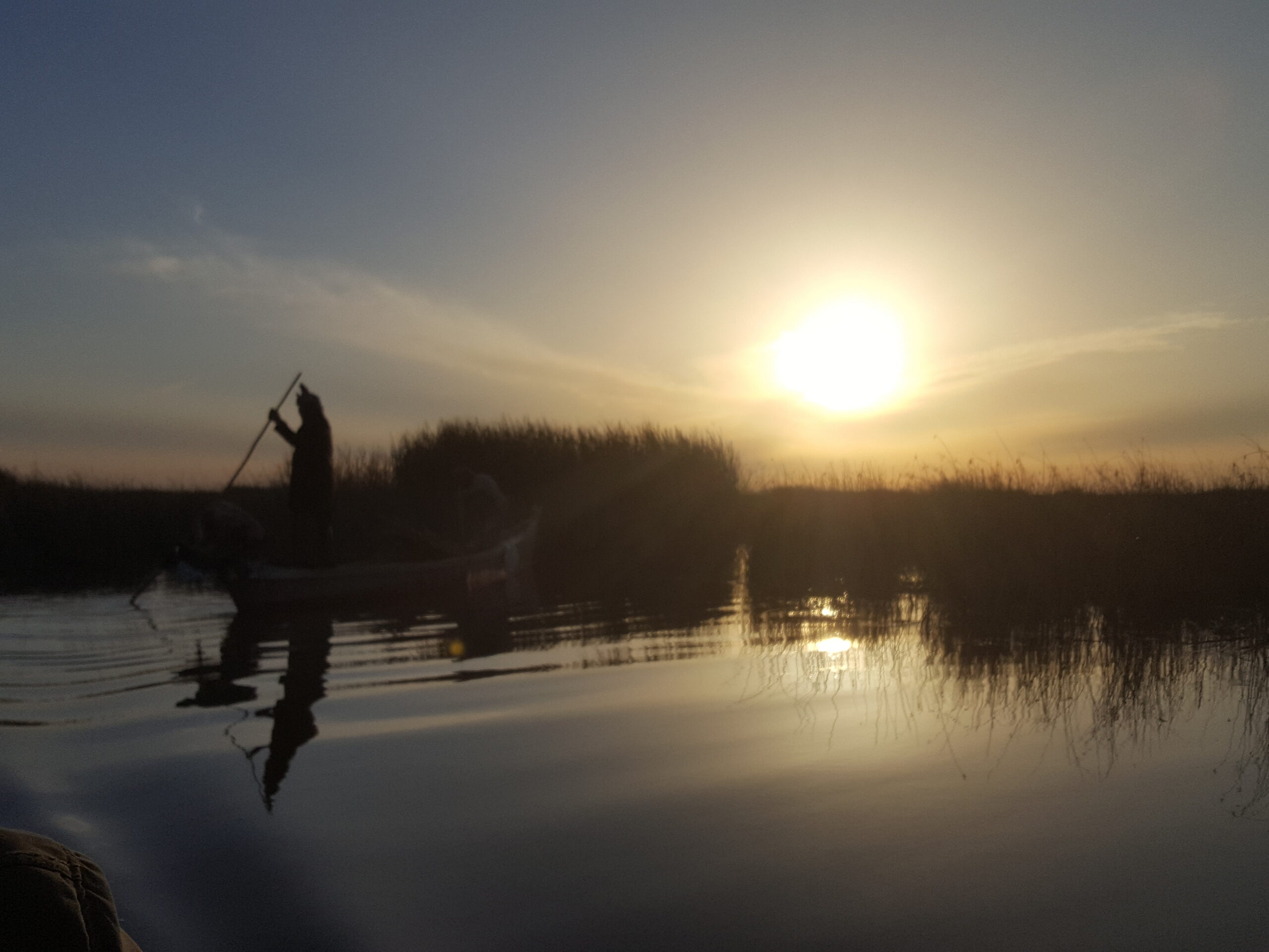
Scoping & Project Assessment of High-Value Replenish Projects in the Marshlands in Iraq
Client: GETF I Location: Iraq
Details
Difaf provided consultancy services for scoping and for the development of concepts for GETF projects aiming for supporting the adaptation of water-bedouin culture of the marshlands around Basra to survive increasing water stresses and climatic pressures. Recommended measures included water conservation, wastewater treatment and reuse, and income-generating activities to support reviving heritage and cultural practices. Difaf specifically evaluated the design of a constructed wetland project and its monitoring & evaluation components.